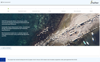
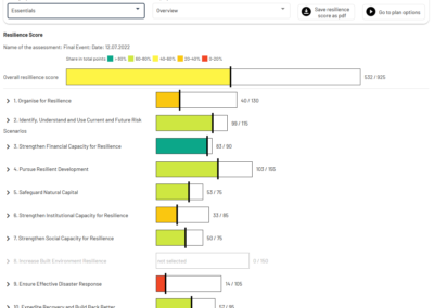
SHELTER Rapid Damage Assessment Module (RDA)
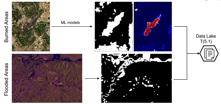
RDA is a satellite mapping tool based on Sentinel imagery that provides automated flood and burned area delineations through deep learning models.
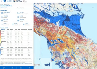
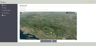
Given an area of interest (AoI) and a time interval, the model can automatically retrieve the required inputs, namely Sentinel-1 for flood delineation and Sentinel2- for burned area and severity estimation, and produce the required outputs (see image below), uploading them into the Data Lake.
Official website
Developer
LINKS
Type
Software
Target users/
Technicians, Researchers
Topics
Disaster Risk Management, Climate Change Adaptation
Conditions for use
Registration of user account