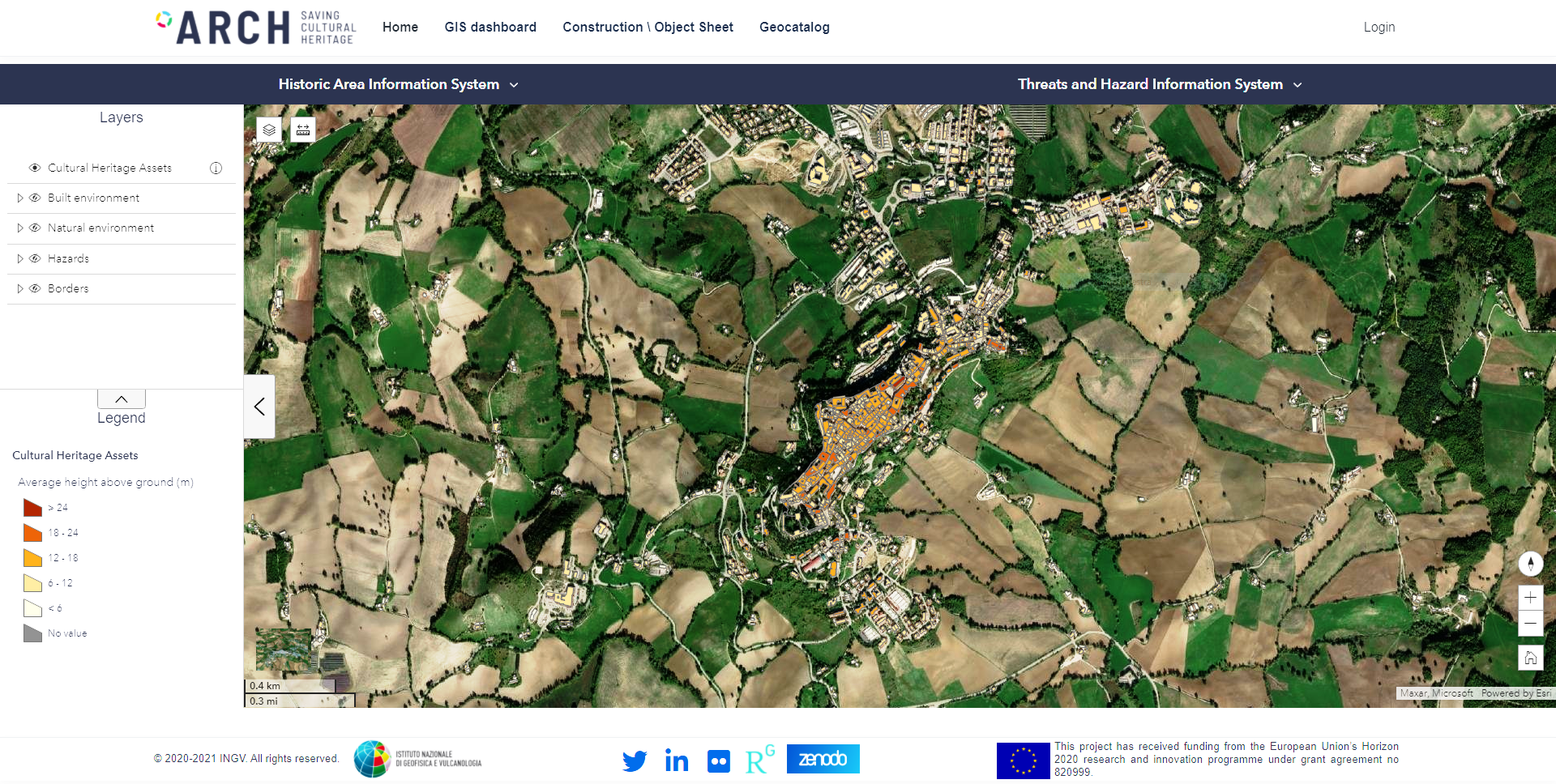
ARCH HArIS/THIS
The Historic Areas Information System (HArIS) is web-based geo-information system extended by electronic sheets and a 3D viewer. It allows to explore and archive data about properties of historic areas as well as single heritage assets (from building to artefact).
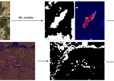
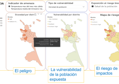
The Threats and Hazard (THIS) information System is a web-based geo-information system that gathers environmental, climate, and other relevant data from different sources for characterising the hazards and stressors that affect a historic area. The system allows collecting "historical" and real-time data from European, national, and local climate services as well as from specific monitoring devices deployed in a historic area.
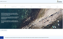
Official website
Developer
INGV
Type
Software, Hardware
Target users/
Technicians, Speciality departments (e.g. civil protection, environmental department etc.)
Topics
Disaster Risk Management, Climate Change Adaptation, Heritage Management
Conditions for use
Attribution of use or other licensing conditions
Attribution of use according to CC-BY 4.0