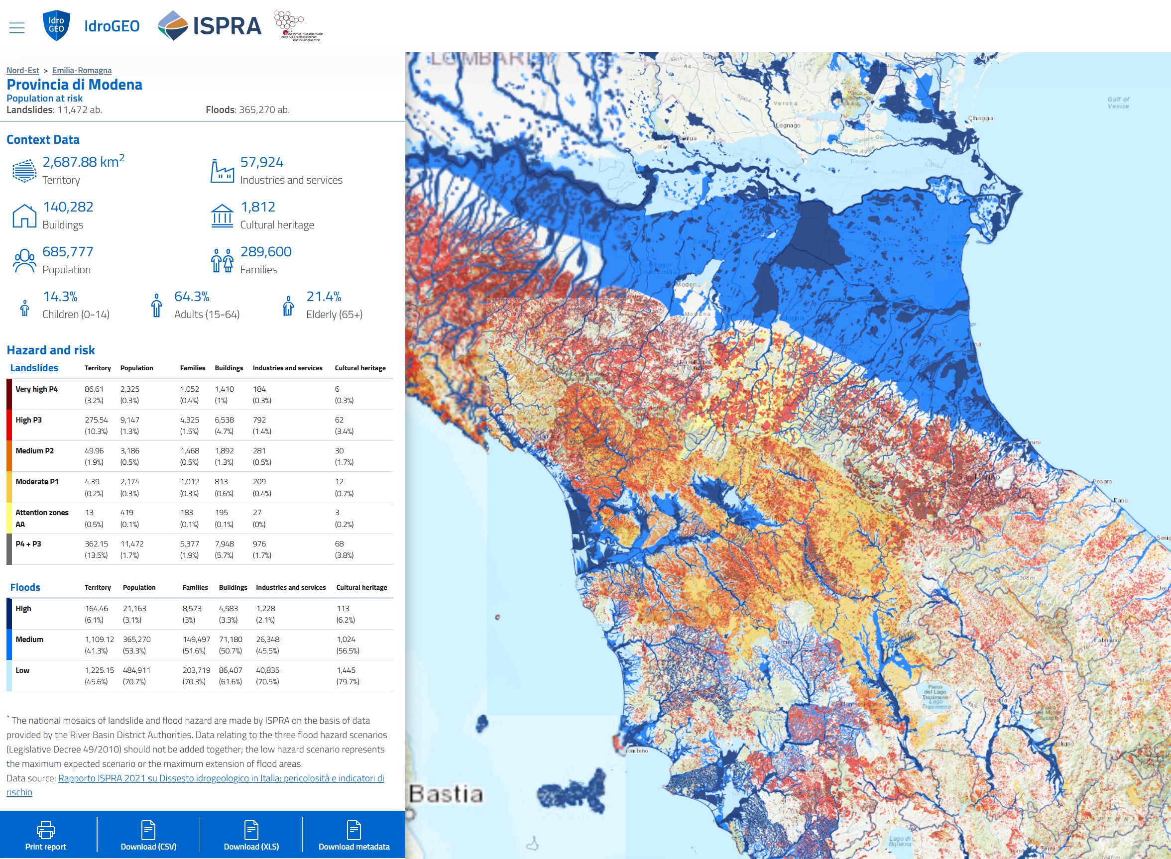
IdroGEO platform on landslides and floods
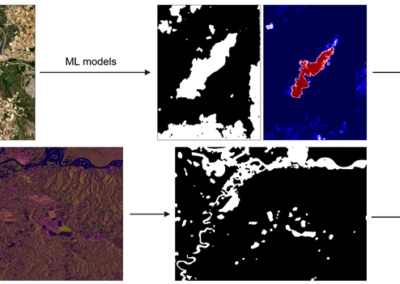
The IdroGEO platform allows the consultation, download and sharing of data, maps, reports, documents of the Italian Landslide Inventory - IFFI, the national landslide and flood hazard maps and risk indicators. It incorporates a web-based geo-information system that allows to explore the risk maps. It also gives quantitative context as to who or what specifically is endangered by these risks.
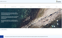
Official website
Developer
ISPRA - Italian National Institute for Environmental Protection and Research
Type
Software
Target users/
Anybody, Technicians, Researchers, Consultants, Speciality departments (e.g. civil protection, environmental department etc.)
Topics
Disaster Risk Management
Conditions for use
None