Preventing landslides in the Umbria Region
Region of Umbria, Italy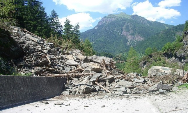
Lead
Main hazard(s)
Disaster Risk Management phase(s)
Type(s) of measure(s)
Background
The region of Umbria is especially vulnerable to landslides due to the historic development of the towns around towers, castles and medieval villages located at the top of the hills. Increased urbanisation has also brought erosion of the hill slopes.
For this critical situation, the Regional and National Governments developed the Hydrological-geological assessment Plan of the Tevere river basin, where 174 risk areas where identified (some of which correspond to historic settlements such as Orvieto, S.Eutizio or the Spoleto town) using information extracted from the analysis of a multitemporal landslide inventory map. Such map is obtained by merging landslide inventory maps prepared through the analysis of stereoscopic aerial photographs of different ages.
Sources
The plan can be consulted here (in Italian): http://www.regione.umbria.it/documents/18/473522/Testo+Tevere/93cd786e-040d-46b0-8c0a-22ec6328682e


 – pixabay by Michelle Maria")


