Assessing seismic risk in Pompeii
Pompeii, Italy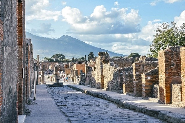
Lead
Main hazard(s)
Disaster Risk Management phase(s)
Type(s) of measure(s)
Background
PROTHEGO was conceived to monitor European monuments and sites inscribed on UNESCO World Heritage List at risk from geohazards, using sensed information (i.e. ground stability and motion), advanced modelling and field surveying. Information is mostly collected using space technology based on radar interferometry (InSar).
PROTHEGO intervention in Pompeii, jointly led by Italian Institute for Environmental Protection ISPRA together with the POMPEII Archaeological Park, aims at the analysis and interpretation of ground motion measures obtained by satellite InSAR data, and at the evaluation of the geomorphologic processes affecting unexcavated areas. A collection of data and images with information on recent instability processes of the Park was made. The purpose of this compilation was to produce a high-resolution morphological map which could categorize types and mechanisms of phenomena since year 2005. The results underlined the potential of the interferometry satellite technique for identifying pre-collapsing deformation trends for predictive purposes.
Sources
Funded in the framework of the Joint Programming Initiative on Cultural Heritage and Global Change (JPICH) — HERITAGE PLUS, PROTHEGO aims to make an innovative contribution towards the analysis of geohazards in areas of cultural heritage in Europe. For more information on PROTHEGO, visit: http://www.prothego.eu/
Other relevant sources
http://www.prothego.eu/docs/posters/PROTHEGO_Pompei_poster.pdf


 – pixabay by Michelle Maria")


